Inpixon Maps
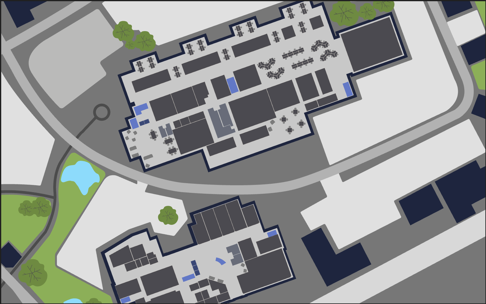
Inpixon Maps (Formerly Jibestream) is an indoor mapping platform that provides a suite of software tools for managing indoor context data and map rendering of within web and mobile applications.
- Date
- September 2016 – September 2020
- Role
- iOS / SDK Engineer
- Tags
- Indoor Data Visualization, Rendering Engine, Real Time Location Systems, Android, iOS and Web SDKs, React Web App, RESTful APIs

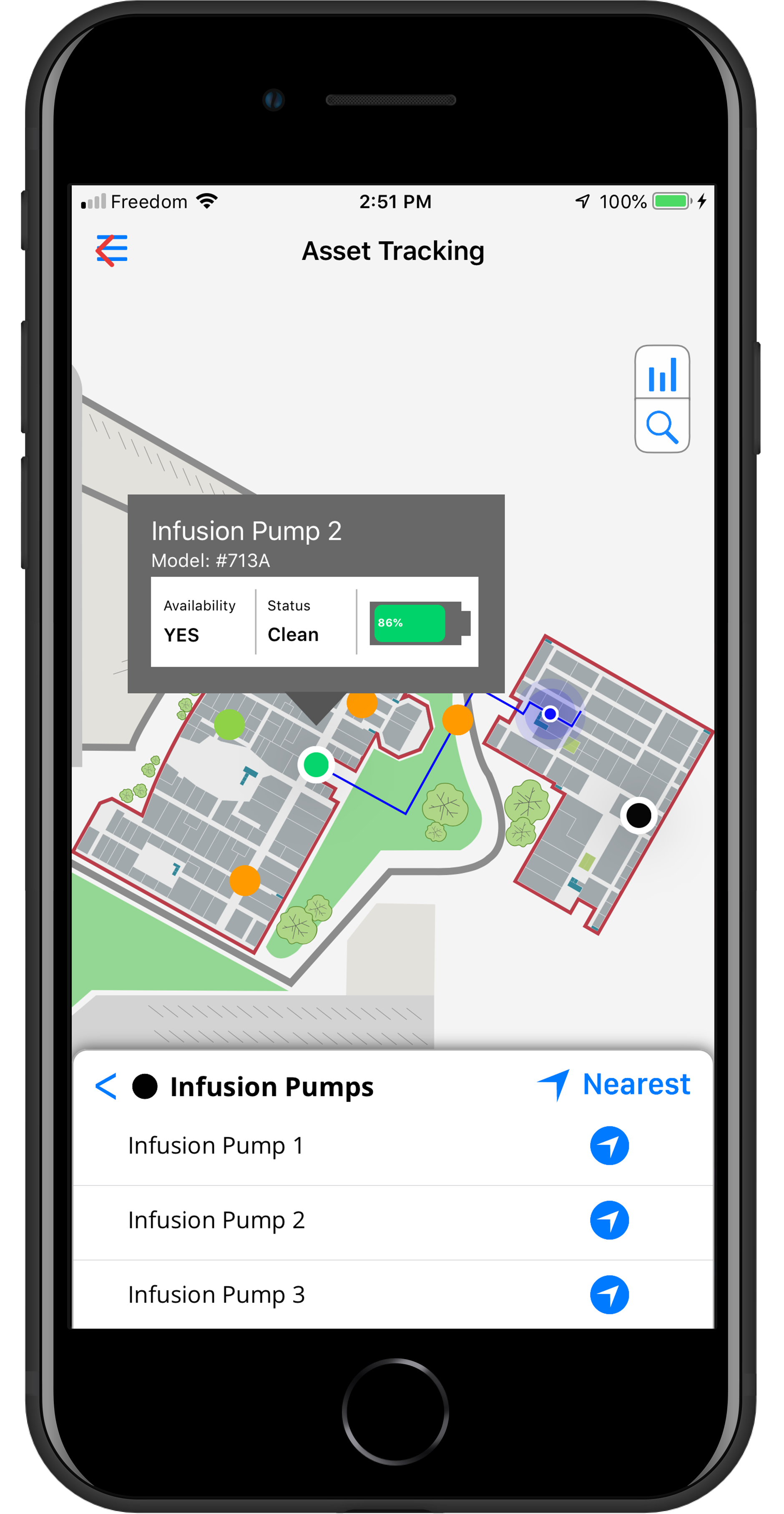
Inpixon Maps (Formerly Jibestream) is an indoor mapping platform that provides a suite of software tools for managing indoor context data and map rendering of within web and mobile applications. Using these tools developers can power multiple use cases from user navigation within the indoor space to tracking dynamic moving assets within manufacturing facilities for loss prevention.
Design Philosophy
Being a platform solution, interoperability is is core to the design of the platform. Supporting the following main products:
REST APIs
Open and Agnostic RESTful APIs to support transactional data updates. Click here to view the API docs.
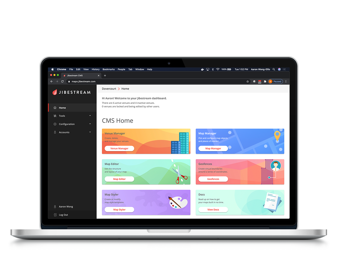
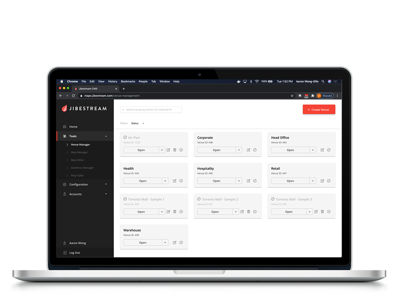
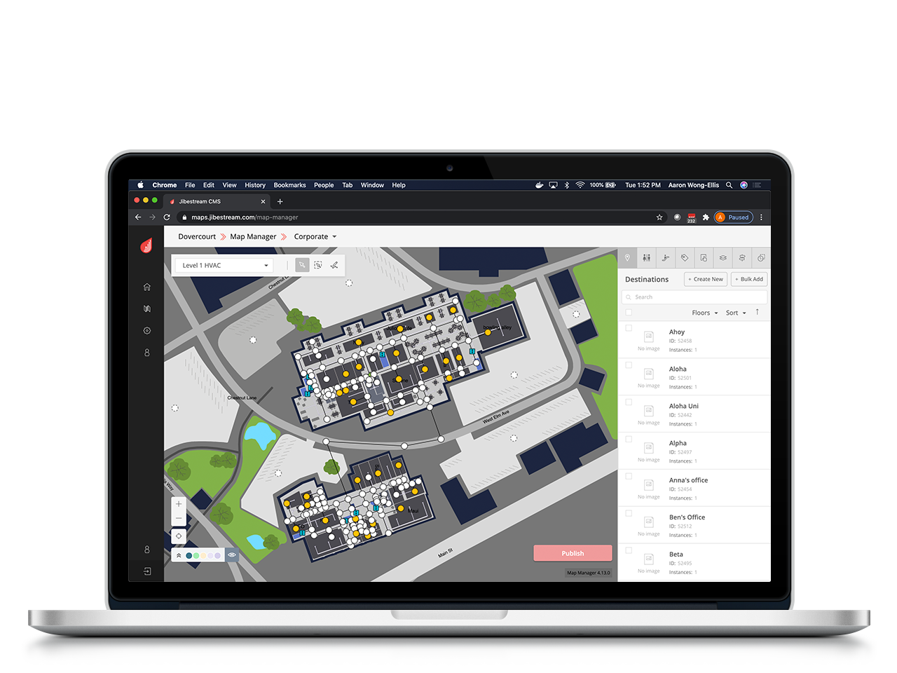
Content Management System
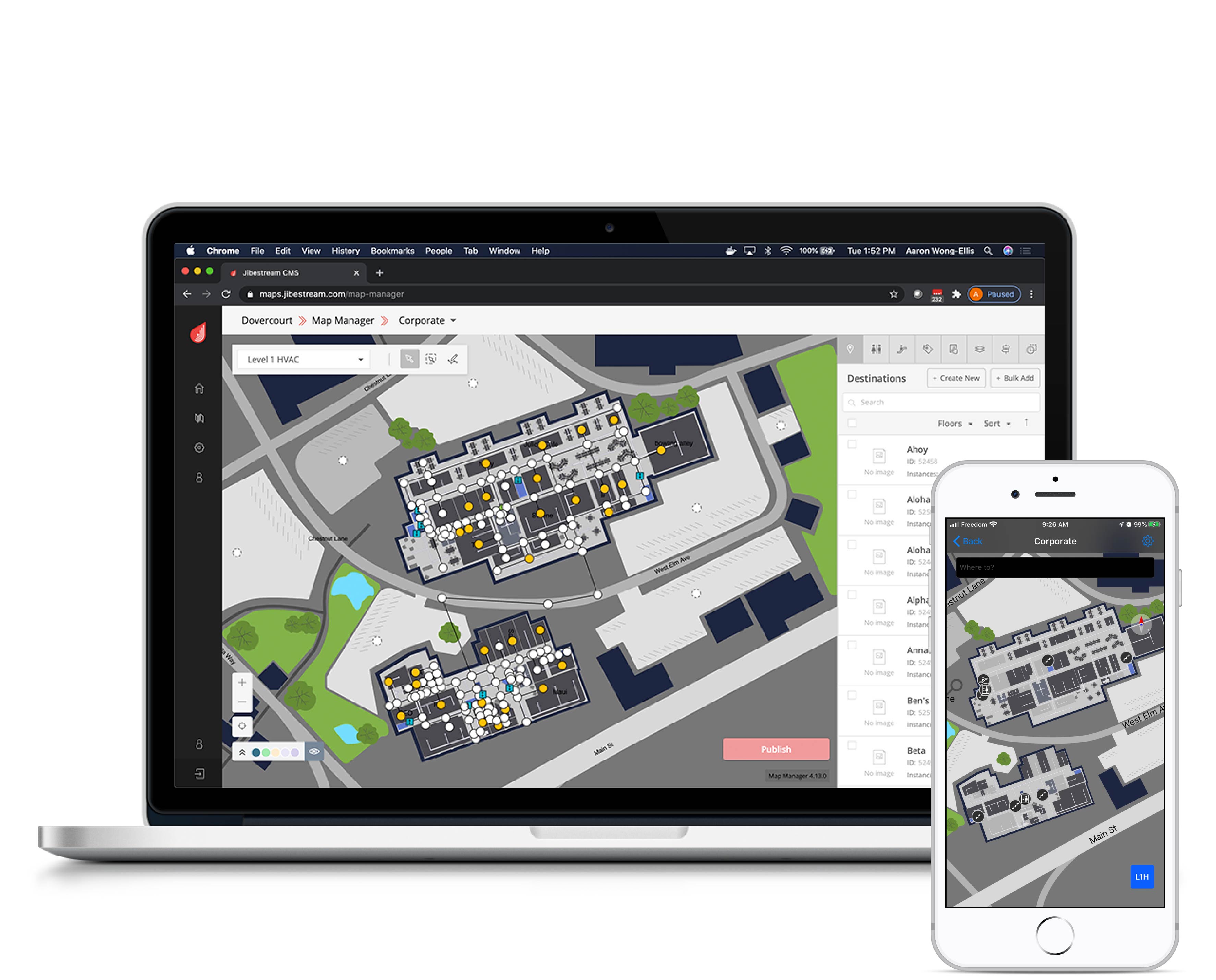
CMS web app for managing map data through a user interface built around the open APIs
Software Development Kits
Client side SDKs supporting native iOS and Android along with Web Javascript to render the mapping data through a proprietary rendering engine. View the web example app to see the rendering engine in action.
SDK Plug-ins
SDKs support a plug-in architecture for modular design and release of new features. This is to keep the Core SDK a light build while giving developer the option on which features to include without bloating their apps. The following SDK plug-ins are offered for extended functionality.
- Analytics Kit: An extension to the SDKs that generates real-time interaction data, which can be passed to customer's analytics database
- Asset Kit: An SDK extension to render and manage dynamic moving assets on
- Device Kit: An SDK extension to render and reference kiosk devices
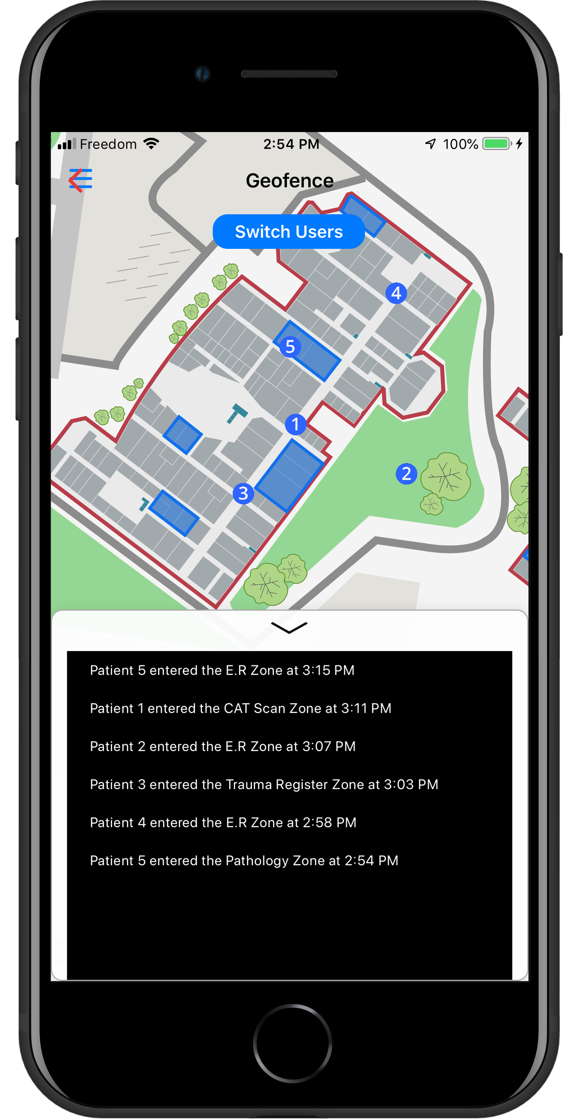
- Geofence Kit: An SDK extension to retrieve, render and trigger geofences
- Map UI Kit: Pre-built UI element for prototyping purposes
- Zone Kit: An SDK extension to retrieve, render and trigger zones
Indoor RTLS Research
A significant part of my work centered on research into indoor Real Time Location Systems (RTLS) to determine the position of people and assets inside buildings, where GPS signals are unreliable. I explored a range of radio frequency technologies for indoor positioning, including Bluetooth Low Energy (BLE) beacons, Ultra-Wideband (UWB), Wi-Fi, Ultrasound and etc. each with its own trade-offs between accuracy, range, cost, and infrastructure requirements.
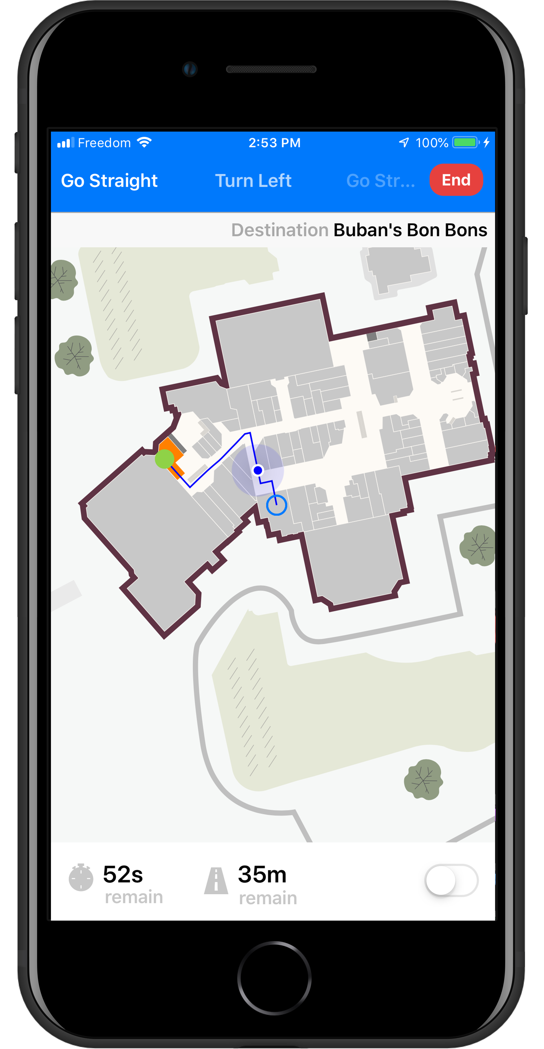
Because no single signal source is reliable on its own indoors, I applied machine learning for sensor fusion, combining these radio signals with on-device motion sensors to produce a more accurate and stable position estimate. This fused positioning powered asset tracking for loss prevention as well as blue-dot indoor navigation experiences that bring the "you are here" GPS experience indoors.
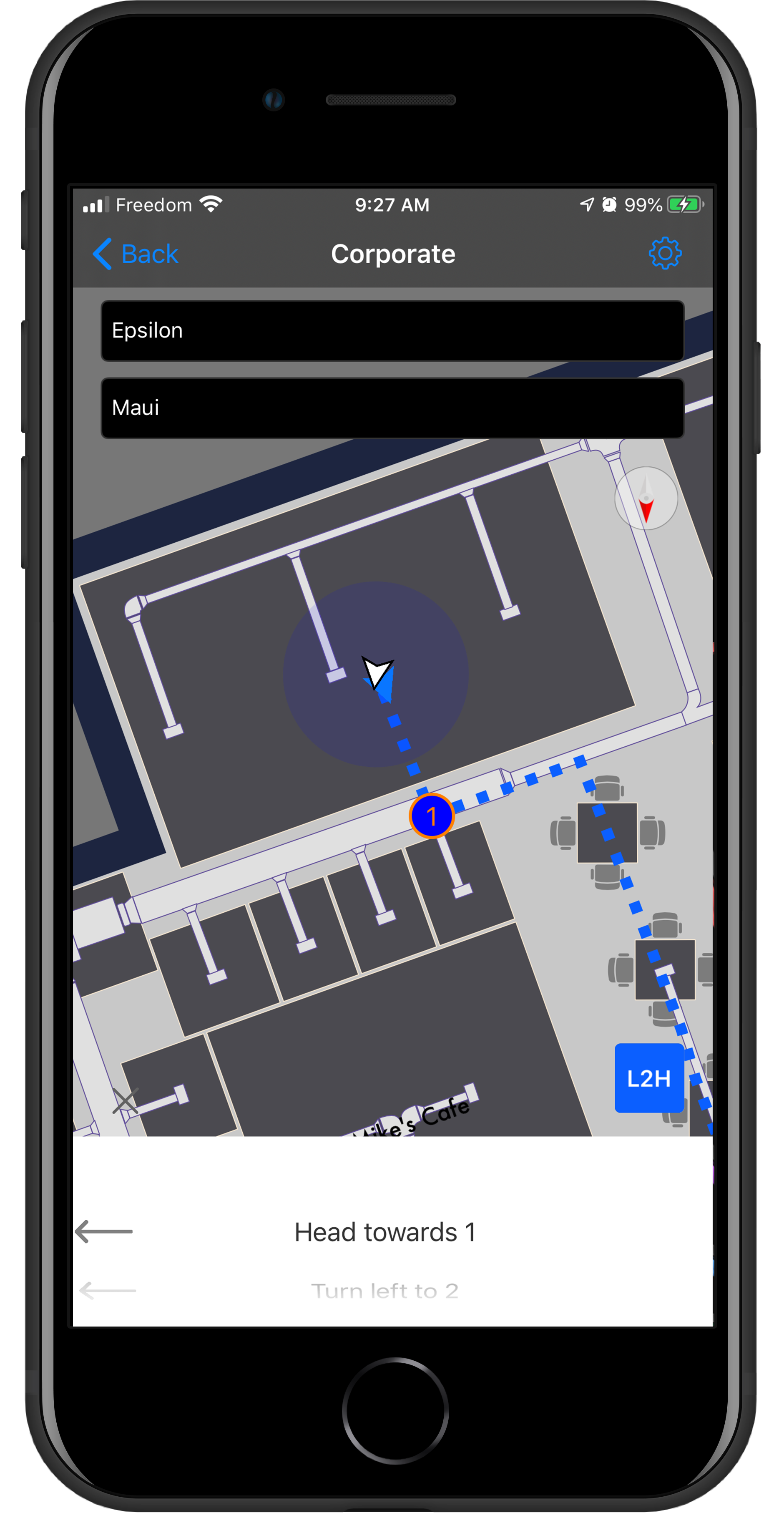
Refer to the video below on integrations with indoor positioning systems to bring the you are here GPS experience to the indoors.
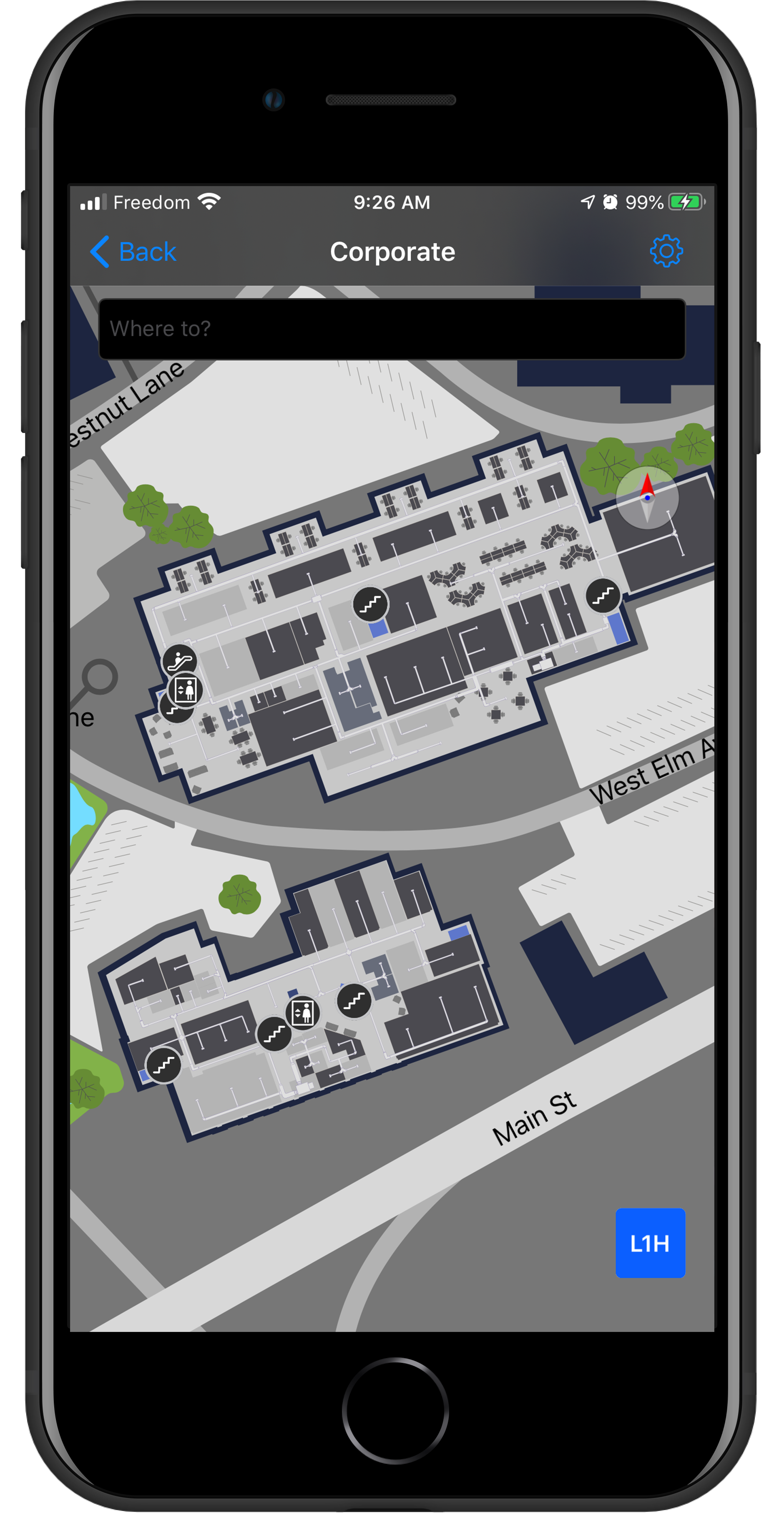
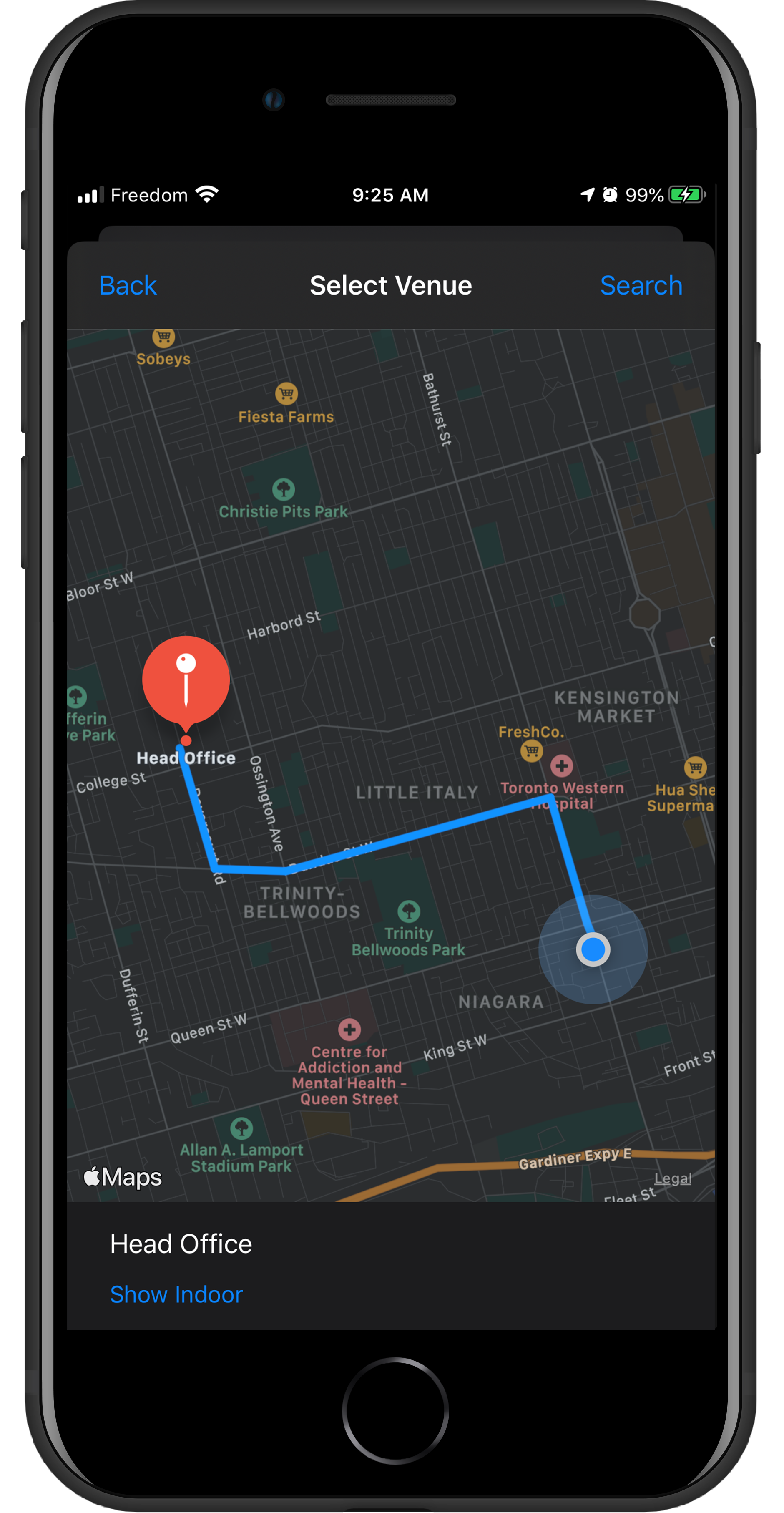
The images below showcase on indoor outdoor integration using apple maps.
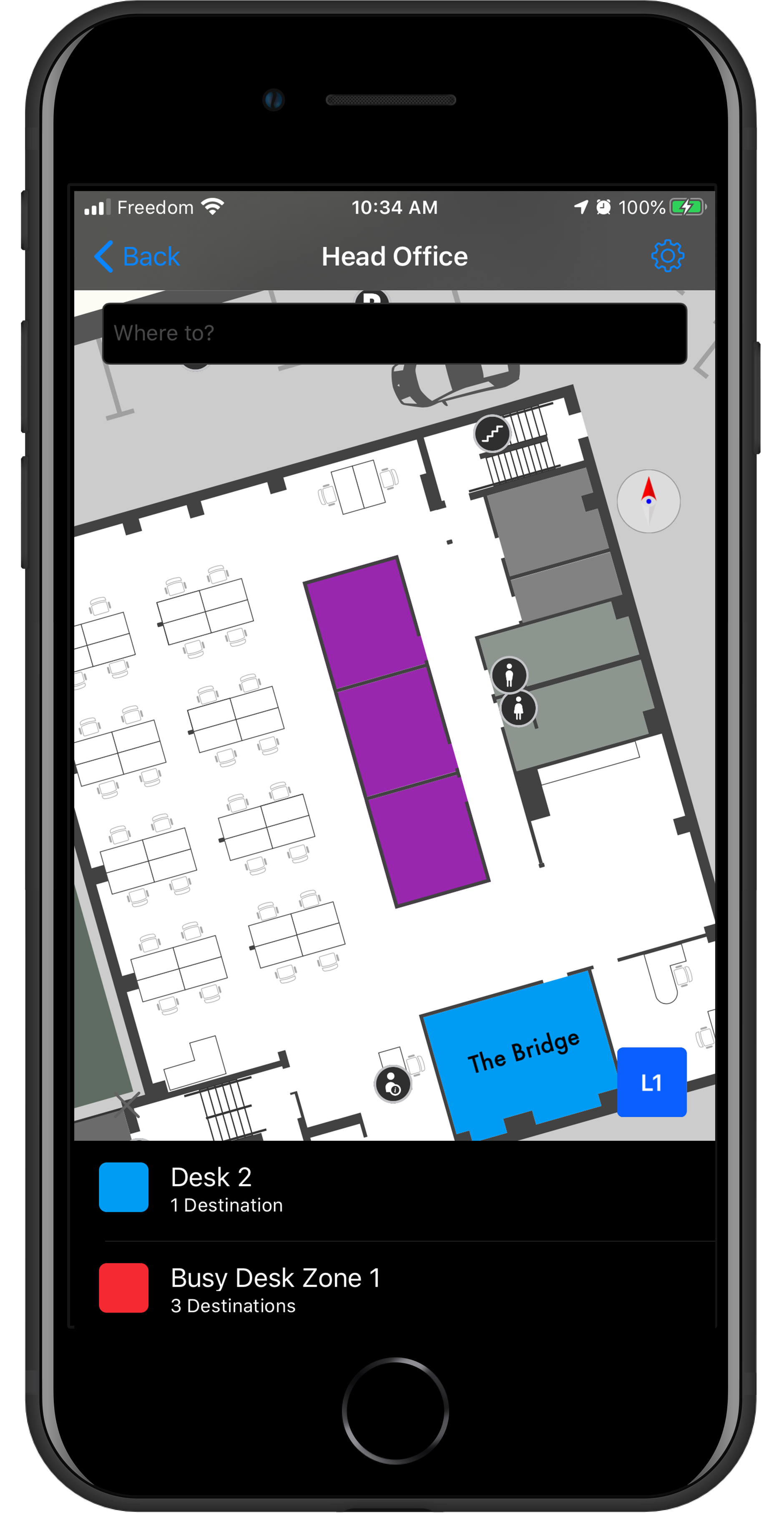
All examples above can be views within the reference app for iOS.
Experience and Involvement with Inpixon Maps
- Major involvement in developing the Jibestream iOS SDK (Objective-C) powered by Core Graphics with minor involvement on the Javascript SDK powered WebGL and Android (Java) SDK powered by Canvas
- Involved in developing Jibestream example app (React)
- Developed the iOS reference applications (Swift) and development tools.
- Contributions to designing the Jibestream plug-in architecture for modular extension of the SDKs.
- Developed the iOS SDK indoor rendering engine using CoreGraphics
- Minor involvement on the Jibestream CMS built on React, Redux and OpenLayers
- Involved in developing IMDF integration tools and RTLS integration tools for iOS (Swift) and Web (JavaScript)
- Architected and developed the React-Native Bridge around the Jibestream SDKs
- Research on RTLS (Real Time Location Systems) specifically working with IPS (Indoor Positioning Systems) using iBeacons, virtual beacons, geo-magnetics, smart lighting and ultrasound technologies
- Consult enterprise clients and architect solutions using the Jibestream platform during the client’s proof of concept and development cycle
Gallery